Mount Willard (New Hampshire)
Appearance
| Mount Willard | |
|---|---|
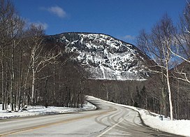
 Mt. Willard overlooking U.S. Route 302 | |
| Highest point | |
| Elevation | 2,865 ft (873 m)[1] |
| Prominence | 265 ft (81 m)[1] |
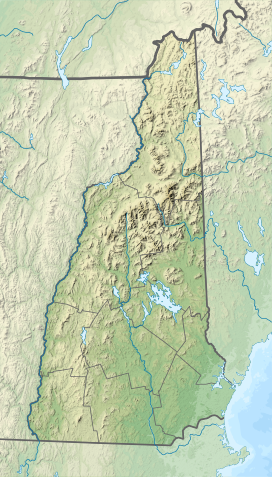
| Coordinates | 44°12′14″N 71°24′47″W / 44.203899°N 71.413081°W[1] |
| Geography | |
| Location | Hart's Location, Carroll County, New Hampshire, U.S. |
| Parent range | White Mountains |
| Climbing | |
| Normal route | Mount Willard Trail |
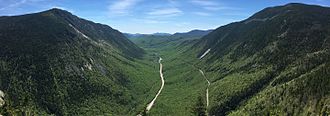
Mount Willard, elevation 2,865 feet (873 m), is a mountain located in Carroll County, New Hampshire, United States. The summit is located in the town of Hart's Location in Crawford Notch State Park. The summit provides excellent views and is accessible via the Mount Willard Trail.[2]

The Mount Willard Trail, "a relatively steep day hike," is a 3.1-mile (5.0 km) long out-and-back with an elevation gain of 895 feet (273 m).[3] Dogs are able to use this trail, and it has been rated as child friendly.[3]
References
[edit]- ^ a b c "Mount Willard, New Hampshire". Peakbagger.com. Retrieved December 12, 2022.
- ^ AMC: Trip Planner - Moderate Hiking Trip to Mount Willard, NH
- ^ a b "Mount Willard Trail". AllTrails.com. Retrieved December 12, 2022.


