Sly Park, California
Appearance
38°43′17″N 120°35′05″W / 38.72139°N 120.58472°W
Sly Park | |
|---|---|
 Jenkinson Lake near Sly Park | |
| Coordinates: 38°43′17″N 120°35′05″W / 38.72139°N 120.58472°W | |
| Country | United States |
| State | California |
| County | El Dorado County |
| Elevation | 3,560 ft (1,085 m) |
| Population (2010) | |
• Total | 459 |
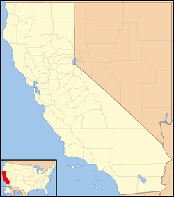
Sly Park[2] is an unincorporated community in El Dorado County, California.[1] It is located in Sly Valley 13 miles (21 km) east of Placerville,[2] at an elevation of 3560 feet (1085 m).[1]
A post office operated at Sly Park from 1891 to 1919, with several moves.[2] The name honors James Sly, one of the Mormons who discovered Sly Valley.[2]
References
[edit]- ^ a b c U.S. Geological Survey Geographic Names Information System: Sly Park, California
- ^ a b c d Durham, David L. (1998). California's Geographic Names: A Gazetteer of Historic and Modern Names of the State. Clovis, Calif.: Word Dancer Press. p. 557. ISBN 1-884995-14-4.
Wikimedia Commons has media related to Sly Park, California.


