Higgins Point, California
Appearance
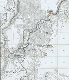
 Map with Higgins Point in red text. | |
| Location | El Dorado County, California |
|---|---|
| Coordinates | 38°45′16″N 121°04′10″W / 38.7545°N 121.0694°W |
Higgins Point is a former mining camp in El Dorado County, California.[1] It was located a half mile west of the center of Salmon Falls.[2] The place was named for the first person to open a store there, an Australian named Higgins.[2] Rich diggings of gold were discovered by Mormons at Higgins Point in 1849.[3] Higgins Point was the first part of Salmon Falls to be laid out as a town, starting in 1853.[4]
References
[edit]- ^ Upton, Charles Elmer (1906). Pioneers of El Dorado. The Internet Archive. Placerville, Calif., C. E. Upton. pp. 94–95.
- ^ a b Gudde, Erwin Gustav. "California gold camps : a geographical and historical dictionary of camps, towns, and localities where gold was found and mined, wayside stations and trading centers". worldcat.org. Berkeley: University of California Press. p. 156. Retrieved February 16, 2024.
- ^ Sioli, Paolo (1883). Historical Souvenir of El Dorado County. The Internet Archive. Oakland: Paolo Sioli. p. 202.
- ^ Bancroft, Hubert Howe (1890). History of California. Vol. VI. The Hathi Trust. San Francisco: The History Company. See footnote 4 on page 352.

