Yarralin, Northern Territory
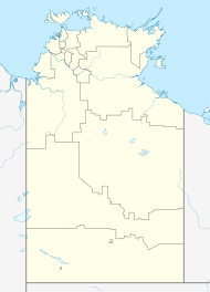
Yarralin, also known as Walangeri, is a remote Aboriginal community in the Northern Territory of Australia. At the 2016 census, Yarralin had a population of 293.[1] The community is located on the banks of the Wickham River, about 15 km (9 mi) west of Victoria River Downs, a major cattle station along the Buchanan Highway.
The community is diverse, with several Indigenous language groups including Gurindji, Ngarinyman, Bilinara and Mudburra represented among the residents of Yarralin.[2] Archeological evidence and oral histories of the area surrounding the modern community indicate that Yarralin was (and remains) an important link in a traditional network for trade and exchange of goods and culture between indigenous peoples across the Northern Territory.[3]
Yarralin is a service centre for the surrounding area and facilities available in the community include a school, health clinic, post office, police station, airstrip, community store and sports fields.
References
[edit]- ^ a b Australian Bureau of Statistics (27 June 2017). "Yarralin (Urban Centre/Locality)". 2016 Census QuickStats. Retrieved 20 November 2019.
- ^ "Yarralin". Katherine West Health Board Aboriginal Corporation. Retrieved 27 July 2014.
- ^ Paton, Robert (March 2013). "Dreaming History for the Pelican: The Deep History of Aboriginal Trade and Exchange Networks in the Top End of the Northern Territory". Australian National University. Retrieved 27 July 2014.

