Y. Ramavaram
Appearance
(Redirected from Y.Ramavaram)
This article needs additional citations for verification. (March 2021) |
Yarlagadda Ramavaram
Y. Ramavaram | |
|---|---|
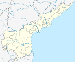
 Dynamic map | |
| Coordinates: 17°41′16.404″N 81°57′33.012″E / 17.68789000°N 81.95917000°E | |
| Country | India |
| State | Andhra Pradesh |
| District | Alluri Sitharama Raju |
| Talukas | Yarlagadda Ramavaram |
| Area | |
• Total | 773.23 km2 (298.55 sq mi) |
| Languagas | |
| • Official | Telugu |
| Time zone | UTC+5:30 (IST) |
| Vehicle Registration | AP05 (Former) AP39 (from 30 January 2019)[1] |
Yarlagadda Ramavaram, commonly known as Y. Ramavaram, is a village in Yarlagadda Ramavaram mandal, which is located in Alluri Sitharama Raju district of Andhra Pradesh state, India.
References
[edit]- ^ "New 'AP 39' code to register vehicles in Andhra Pradesh launched". The New Indian Express. Vijayawada. 31 January 2019. Archived from the original on 3 February 2019. Retrieved 9 June 2019.

