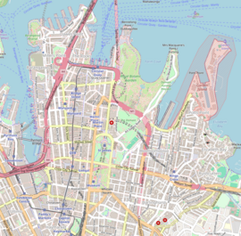
Wynyard, New South Wales
Appearance
Wynyard (/ˈwɪnjərd/) is an urban locality adjacent to Wynyard railway station in the Sydney central business district of New South Wales, Australia. Wynyard is part of the local government area of the City of Sydney. The postcode is 2000. Wynyard Park is a prominent landmark in this area.
History
[edit]Wynyard was named in honour of Major-General Edward Buckley Wynyard, a former British Army officer who, in September 1847, was put in command of the troops in New South Wales, Van Diemen's Land and New Zealand.[1][2]
Transport
[edit]Wynyard railway station is located underground and is a major Sydney Trains railway station, serviced by six lines. It is also a major bus terminal, serving as the CBD terminus for many routes from the Northern Beaches and North Shore.
References
[edit]This article needs additional citations for verification. (May 2017) |
- ^ "Wynyard, Edward Buckley (1788–1864)". Australian Dictionary of Biography. Canberra: National Centre of Biography, Australian National University. ISBN 978-0-522-84459-7. ISSN 1833-7538. OCLC 70677943. Retrieved 18 February 2012.
- ^ Reed, A. W. (1972). Place names of Australia. Frenchs Forest: Reed Books. p. 232.


