Vohemar Airport
Appearance
This article needs additional citations for verification. (January 2024) |
Vohemar Airport | |||||||||||
|---|---|---|---|---|---|---|---|---|---|---|---|
| Summary | |||||||||||
| Airport type | Public | ||||||||||
| Operator | ADEMA (Aéroports de Madagascar) | ||||||||||
| Serves | Vohemar | ||||||||||
| Location | Sava Region, Madagascar | ||||||||||
| Elevation AMSL | 19 ft / 6 m | ||||||||||
| Coordinates | 13°22′33″S 50°00′10″E / 13.37583°S 50.00278°E | ||||||||||
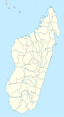
| Map | |||||||||||
 | |||||||||||
| Runways | |||||||||||
| |||||||||||
DAFIF[1] | |||||||||||
Vohemar Airport (IATA: VOH, ICAO: FMNV) is an airport in Vohemar, Sava Region, Madagascar.
References
[edit]- ^ "VOH Airport Information". World Aero Data. DAFIF. Archived from the original on July 2, 2015. Retrieved 2 July 2015.
13°22′30″S 50°00′00″E / 13.3750°S 50.0000°E

