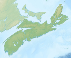
Tower Road, Nova Scotia
Appearance
Tower Road | |
|---|---|
| Coordinates: 46°09′07″N 59°57′34″W / 46.152036°N 59.959499°W[1] | |
| Country | Canada |
| Province | Nova Scotia |
| Regional municipality | Cape Breton |
| Area (2021)[2] | |
| • Land | 9.07 km2 (3.50 sq mi) |
| Population (2021)[2] | |
• Total | 295 |
| Time zone | UTC– 04:00 (AST) |
| • Summer (DST) | UTC– 03:00 (ADT) |
| Area code | 902 |
Tower Road is an unincorporated community within the Cape Breton Regional Municipality in Nova Scotia, Canada. It is recognized as a designated place by Statistics Canada.[2]
Geography
[edit]Tower Road is 4 km (2.5 mi) south of Glace Bay on Marconi Towers Road, which is accessed from Route 255 via Sand Lake Road or Birch Grove Road.[1]
Demographics
[edit]In the 2021 Census of Population conducted by Statistics Canada, Tower Road had a population of 295 living in 128 of its 135 total private dwellings, a change of 8.5% from its 2016 population of 272. With a land area of 9.07 km2 (3.50 sq mi), it had a population density of 32.5/km2 (84.2/sq mi) in 2021.[2]
References
[edit]- ^ a b "Tower Road". GeoNOVA. Retrieved December 31, 2024.
- ^ a b c d "Population and dwelling counts: Canada and designated places". Statistics Canada. February 9, 2022. Retrieved May 9, 2022.


