The Narrows (Saint Kitts and Nevis)
This article needs additional citations for verification. (December 2024) |
| The Narrow | |
|---|---|
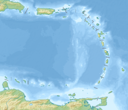
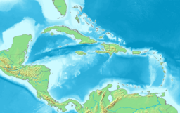
 Map of Saint Kitts and Nevis. | |
| Coordinates | 17°12′36″N 62°37′48″W / 17.21000°N 62.63000°W |
| Max. width | 3 kilometres (1.9 mi) |
The Narrows is the strait that separates the Caribbean islands of Saint Kitts and Nevis. At its narrowest, it is 3 kilometres wide.[1][2]
History
[edit]It has been observed that fish stock and biodiversity in general in The Narrows was deteriorating.[citation needed]
In 1986, the Island Resources Foundation developed a marine parks proposal for the Southeast Peninsula area of St. Kitts.
In 1998, the St. Kitts Fisheries Management Unit developed a proposal for the preparation of a Management Plan for the development of Marine Protected Areas.[citation needed]
In 2006, the Nevis Department of Fisheries developed a proposal for management of the Narrows.
As of 2019, a new enhanced management proposal of The Narrows Marine Managed Area (NMMA) in St. Kitts and Nevis is being developed.[3]
References
[edit]- ^ The World Factbook: 2010 Edition (CIA's 2009 Edition) page 531, Publisher: Potomac Books. ISBN 9781597975414
- ^ Weather forecast for The Narrows (Saint Kitts and Nevis) Norwegian Meteorological Institute and the Norwegian Broadcasting Corporation.
- ^ "The Narrows Marine Managed Area". St.Kitts & Nevis Department of Marine Resources. Retrieved 17 May 2019.


