
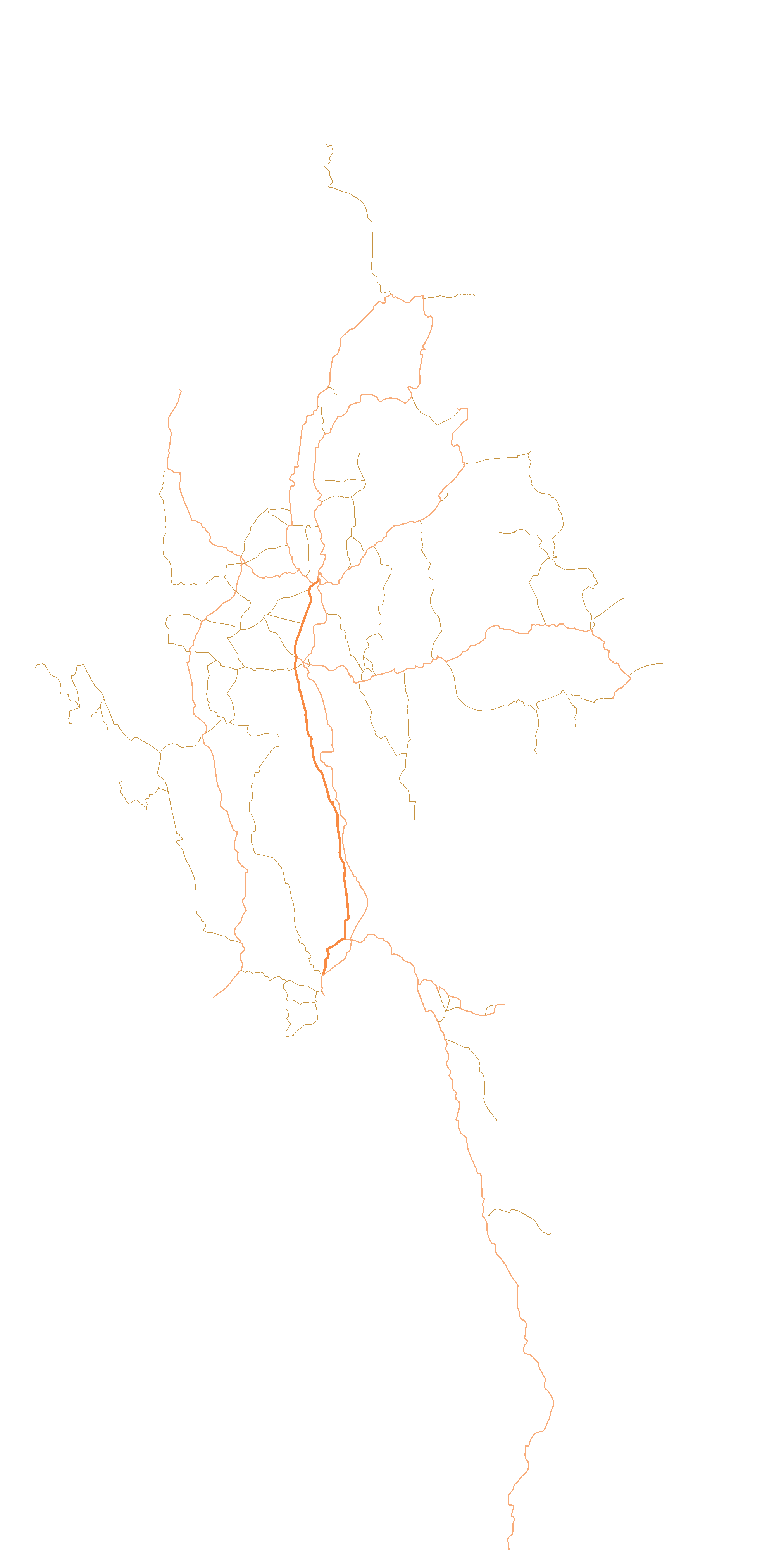
Template:Myanmar Civil War detailed map

Siege of Ti Bwar
Lahuse
Maung Shwe Lay Naval Base
Hold cursor over location to display name; click to go to sources &/or status description (if available, the cursor will show as  ; if not, it will show as
  ).
).
 Airport/Air base ;
  Heliport/Helicopter base ;
  Military base ;
  Strategic hill ;
  Oil/gas ;
  Industrial complex ;
  Border Post ;
  Major port or naval base ;
  Dam ;
Dam ;  Rural presence
- Under control of the Republic of the Union of Myanmar (Junta) & allied Ethnic Armed Organizations (EAOs)
- Under control of National Unity Government (NUG) & allied Ethnic Armed Organizations (EAOs)
- Under control of Three Brotherhoood Alliance (3BA)
- Under control of neutral ethnic minorities
![]() Contested ;
Contested ; ![]() Stable mixed control
Stable mixed control
![]() Inner controls, outer sieges (or strong enemy pressure) ;
Inner controls, outer sieges (or strong enemy pressure) ; ![]() Enemy pressure from one side; Small icon within a larger icon: The situation in individual neighbourhood/district
Enemy pressure from one side; Small icon within a larger icon: The situation in individual neighbourhood/district
| This template may have no transclusions. This is because it is substituted by a tool or script, it is used as part of a short-term or less active Wikipedia process, or for some other reason. |
| This template uses Lua: |
How war map template work with other parts of Wikipedia
[edit]