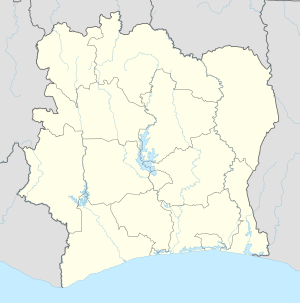
Sikensi
Appearance
Sikensi | |
|---|---|
Town, sub-prefecture, and commune | |
| Coordinates: 5°40′N 4°34′W / 5.667°N 4.567°W | |
| Country | |
| District | Lagunes |
| Region | Agnéby-Tiassa |
| Department | Sikensi |
| Area | |
• Total | 441 km2 (170 sq mi) |
| Population (2021 census)[1] | |
• Total | 91,032 |
| • Density | 210/km2 (530/sq mi) |
| Time zone | UTC+0 (GMT) |
Sikensi is a town in southeastern Ivory Coast. It is a sub-prefecture of and the seat of Sikensi Department in Agnéby-Tiassa Region, Lagunes District. Sikensi is also a commune.
In 2021, the population of the sub-prefecture of Sikensi was 91,032.[1]
Villages
[edit]The 13 villages of the sub-prefecture of Sikensi and their populations in 2014 are:[2]
- Abiéhou (1,923)
- Badasso (3,438)
- Bakanou (7,182)
- Bakanou A (2,986)
- Bakanou B (4,196)
- Brafouéby (1,657)
- Bécédi (7,364)
- Ellibou-Badasso (9,313)
- Badasso (3,438)
- Ellibou (5,875)
- Katadji (3,686)
- Sikensi (7,308)
- Sikensi 3 (6,710)
- Sikensi A (3,813)
- Sikensi B (6,396)
- Soukou-Obou (2,207)
References
[edit]- ^ a b Citypopulation.de Population of the regions and sub-prefectures of Ivory Coast
- ^ Citypopulation.de Population of the localities in the sub-prefecture of Sikensi


