San Pédro Airport
Appearance
San Pédro Airport | |||||||||||
|---|---|---|---|---|---|---|---|---|---|---|---|
| Summary | |||||||||||
| Airport type | Public | ||||||||||
| Serves | San Pédro | ||||||||||
| Elevation AMSL | 26 ft / 8 m | ||||||||||
| Coordinates | 4°44′48″N 6°39′40″W / 4.74667°N 6.66111°W | ||||||||||
| Map | |||||||||||
 | |||||||||||
| Runways | |||||||||||
| |||||||||||
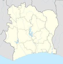
San Pédro Airport (IATA: SPY, ICAO: DISP) is an airport serving San Pédro, Côte d'Ivoire.
Airlines and destinations
[edit]| Airlines | Destinations |
|---|---|
| Air Côte d'Ivoire | Abidjan |
See also
[edit]References
[edit]- ^ Google Maps - San Pédro
- ^ "SAN PEDRO". World Aero Data. WorldAeroData.com. Archived from the original on November 19, 2011. Retrieved 2 March 2020.

