Ponta Bicuda
Appearance
Ponta Bicuda | |
|---|---|
| Coordinates: 15°20′06″N 23°42′48″W / 15.3350°N 23.7132°W | |
| Location | Northern Santiago, Tarrafal Municipality |
| Offshore water bodies | Atlantic Ocean |
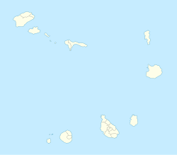
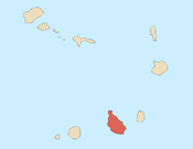
Ponta Bicuda is a headland in the northern part of the island of Santiago, Cape Verde. It is 3 km (1.9 mi) east of Ponta Moreia, the northernmost point of Santiago, and 8 kilometres (5.0 mi) northeast of Tarrafal. In the 1747 map by Jacques-Nicolas Bellin, the point was mentioned as "Pt. Bikkude".[1]
References
[edit]- ^ Jacques-Nicolas Bellin (1747). "Carte des Isles du Cap Verd = Kaart van de Eilanden van Kabo Verde" (in French).


