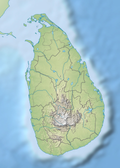
Nilwala River
Appearance
| Nilwala River | |
|---|---|
| Location | |
| Country | Sri Lanka |
| Physical characteristics | |
| Source | Sinharaja Forest Reserve |
| Mouth | |
• location | Matara |
• coordinates | 5°57′N 80°32′E / 5.950°N 80.533°E |
| Length | 72 km (45 mi) |
| Basin size | 922 km2 (356 sq mi) |
The Nilwala is a river in Southern Province in Sri Lanka. It originates in Sinharaja Forest Reserve[1] and discharges into the sea at Matara. There is no consensus on how this river got its name. It is believed that the river got its name because, in the past, the river's water was very pure blue and flowed like a blue cloud. The Nilwala River was mentioned as Neelavahini and Neelawalanadi River in ancient sources. The most straight forward meaning is 'blue bearer,' 'Blue River.[2]
The river is 72 km (45 mi)[1][3] long and has a drainage basin of 922 km2 (356 sq mi).[4]
Tributaries
[edit]- Kotapola Oya
- Urubokke Oya (Diversion)
- Hulandawa Oya
- Siyambalagoda Oya
References
[edit]- ^ a b "River Sand Mining in Southern Sri Lanka and its Effect on Environment". archive.riversymposium.com.
- ^ Rathanasara, Kaudagammana and Gamage G.C.L (2023). "Exploring the Role of the Gaṃgārohaṇa Pūjā in Sri Lankan Religious, Social, and Political Contexts". International Journal of Multidisciplinary Studies (IJMS). 10 (iii): 51–67 – via https://www.researchgate.net/publication/383037822_Exploring_the_Role_of_the_Gamgarohana_Puja_in_Sri_Lankan_Religious_Social_and_Political_Contexts.
{{cite journal}}: External link in|via= - ^ "Mitigating the Human-Crocodile Conflict in the Nilwala River - Environment Foundation (Guarantee) Limited". Environment Foundation (Guarantee) Limited. Retrieved 2018-07-21.
- ^ "Reservoirs of Sri Lanka and their fisheries". www.fao.org. Retrieved 2018-07-21.

