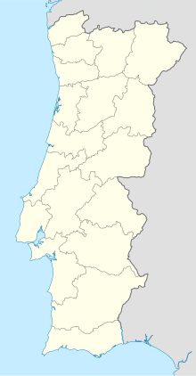
Monfortinho Airport
Appearance
Monfortinho Airport | |||||||||||
|---|---|---|---|---|---|---|---|---|---|---|---|
| Summary | |||||||||||
| Airport type | Public | ||||||||||
| Serves | Monfortinho | ||||||||||
| Elevation AMSL | 985 ft / 300 m | ||||||||||
| Coordinates | 39°58′30″N 6°54′20″W / 39.97500°N 6.90556°W | ||||||||||
| Map | |||||||||||
 | |||||||||||
| Runways | |||||||||||
| |||||||||||
Monfortinho Airport (ICAO: LPMF) is an airstrip near the Portugal-Spain border serving Monfortinho, in the Castelo Branco municipality of Portugal.
The runway is 3 kilometres (1.9 mi) southwest of the village.
See also
[edit]References
[edit]- ^ Google Maps - Monfortinho
- ^ Airport information for LPMF at Great Circle Mapper.
External links
[edit]- OurAirports - Monfortinho
- Google Earth

