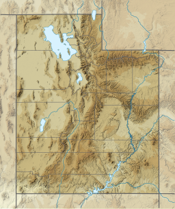
Mona Reservoir
Appearance
| Mona Reservoir | |
|---|---|
| Location | Juab County, Utah |
| Coordinates | 39°49′15″N 111°52′04″W / 39.82083°N 111.86778°W |
| Type | reservoir |
| Primary inflows | Currant Creek |
| Primary outflows | Currant Creek |
| Basin countries | United States |
Mona Reservoir is a large reservoir on Currant Creek in the north end of Juab Valley, Juab County, Utah. It was created in 1895 by the construction of an earthen dam.

External links
[edit]- "Report on Mona Reservoir" (PDF). (86.7 KiB) by the Utah Division of Water Quality
- U.S. Geological Survey Geographic Names Information System: Mona Reservoir


