Miandrivazo Airport
Appearance
Miandrivazo Airport | |||||||||||
|---|---|---|---|---|---|---|---|---|---|---|---|
| Summary | |||||||||||
| Airport type | Public | ||||||||||
| Serves | Miandrivazo | ||||||||||
| Location | Menabe, Madagascar | ||||||||||
| Elevation AMSL | 203 ft / 62 m | ||||||||||
| Coordinates | 19°33′46″S 45°27′03″E / 19.56278°S 45.45083°E | ||||||||||
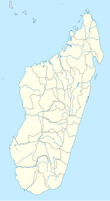
| Map | |||||||||||
 | |||||||||||
| Runways | |||||||||||
| |||||||||||
DAFIF:[1] | |||||||||||
Miandrivazo Airport (IATA: ZVA, ICAO: FMMN) is an airport near Miandrivazo, Menabe Region, Madagascar.
References
[edit]- ^ "ZVA Airport Information". World Aero Data. DAFIF. Archived from the original on November 16, 2007. Retrieved 1 July 2015.

