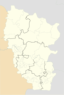
Mariia, Ukraine
Appearance
Mariia
Марія | |
|---|---|
| Coordinates: 48°25′31″N 39°08′59″E / 48.42528°N 39.14972°E | |
| Country | |
| Oblast | |
| Raion | Luhansk Raion |
| Hromada | Lutuhyne urban hromada |
| Founded | 1896 |
| Elevation | 184 m (604 ft) |
| Population (2022)[2] | |
• Total | 1,032 |
| Time zone | UTC+2 (EET) |
| • Summer (DST) | UTC+3 (EEST) |
| Postal code | 92021 |
| Area code | +380 6436 |
Mariia (Ukrainian: Марія; Russian: Ленина) is a rural settlement in Lutuhyne urban hromada, Luhansk Raion, Luhansk Oblast (region), Ukraine. Population: 1,032 (2022 estimate)[2]
History
[edit]In spring 2014, during the war in Donbas, Lenina, along with all other settlements in what was then Lutuhyne Raion, was taken over by the Luhansk People's Republic, an unrecognized breakaway state widely described as a puppet state of Russia.[3]
In 2016, as part of decommunization in Ukraine, Lenina was officially renamed by the Ukrainian government to Mariia.[4]
Demographics
[edit]The estimate of the town's population as of 2022 is 1,032 people.[2]
Native language distribution as of the Ukrainian Census of 2001:[5]
References
[edit]- ^ "Lenina (Luhansk Oblast)". weather.in.ua. Retrieved 12 June 2022.
- ^ a b c Чисельність наявного населення України на 1 січня 2022 [Number of Present Population of Ukraine, as of January 1, 2022] (PDF) (in Ukrainian and English). Kyiv: State Statistics Service of Ukraine. Archived (PDF) from the original on 4 July 2022.
- ^ "Кабмин назвал города Донбасса, подконтрольные сепаратистам" (in Russian). Retrieved 6 November 2023.
- ^ "Сельская декоммунизация: Какие населенные пункты переименовала Рада". 112ua.tv. Retrieved 15 August 2016.
- ^ Розподіл населення за рідною мовою на ukrcensus.gov.ua


