Lyshornet
Appearance
| Lyshornet | |
|---|---|
| Highest point | |
| Elevation | 404 m (1,325 ft)[2] |
| Prominence | 327 m (1,073 ft) |
| Coordinates | 60°14′27″N 5°24′23″E / 60.2407°N 5.4065°E[1] |
| Geography | |
| Location | Vestland, Norway |
| Climbing | |
| Easiest route | Hiking |
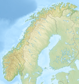
Lyshornet is a mountain in Bjørnafjorden Municipality in Vestland county, Norway. The 404-metre (1,325 ft) tall mountain lies about 3 kilometres (1.9 mi) north of the village of Søvik and about 2 kilometres (1.2 mi) west of the village of Søfteland. The Lyse Abbey lies at the southern base of the mountain.
See also
[edit]References
[edit]- ^ "Lyshornet, Bjørnafjorden (Vestland)" (in Norwegian). yr.no. Retrieved 2020-03-01.
- ^ Gudrun Heggland (July 2008). "Lysekloster - Lysehornet" (in Norwegian). Bergens Tidende. Retrieved 2008-08-06.


