List of United Kingdom locations: Fr-Fz
Appearance

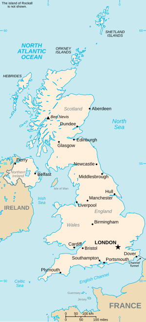
This is part of the list of United Kingdom locations: a gazetteer of place names in the United Kingdom showing each place's locality and geographical coordinates.
Fr
[edit]Fra
[edit]Fre
[edit]Fri
[edit]Fro
[edit]Fry
[edit]| Location | Locality | Coordinates (links to map & photo sources) |
OS grid reference |
|---|---|---|---|
| Fryern Hill | Hampshire | 50°58′N 1°22′W / 50.97°N 01.37°W | SU4420 |
| Fryerning | Essex | 51°40′N 0°22′E / 51.67°N 00.37°E | TL6400 |
| Fryerns | Essex | 51°34′N 0°29′E / 51.57°N 00.48°E | TQ7289 |
| Fryton | North Yorkshire | 54°10′N 0°57′W / 54.16°N 00.95°W | SE6875 |
Fu
[edit]Fy
[edit]| Location | Locality | Coordinates (links to map & photo sources) |
OS grid reference |
|---|---|---|---|
| Fyfett | Somerset | 50°55′N 3°05′W / 50.92°N 03.09°W | ST2314 |
| Fyfield | Hampshire | 51°13′N 1°35′W / 51.21°N 01.58°W | SU2946 |
| Fyfield | Essex | 51°44′N 0°15′E / 51.73°N 00.25°E | TL5606 |
| Fyfield | Oxfordshire | 51°40′N 1°23′W / 51.67°N 01.39°W | SU4298 |
| Fyfield | Gloucestershire | 51°43′N 1°43′W / 51.72°N 01.71°W | SP2003 |
| Fyfield (near Marlborough) | Wiltshire | 51°25′N 1°48′W / 51.41°N 01.80°W | SU1468 |
| Fyfield (near Pewsey) | Wiltshire | 51°20′N 1°45′W / 51.33°N 01.75°W | SU1760 |
| Fylingthorpe | North Yorkshire | 54°25′N 0°33′W / 54.42°N 00.55°W | NZ9404 |
| Fyning | West Sussex | 51°00′N 0°50′W / 51.00°N 00.84°W | SU8124 |
| Fyvie | Aberdeenshire | 57°25′N 2°24′W / 57.42°N 02.40°W | NJ7637 |
