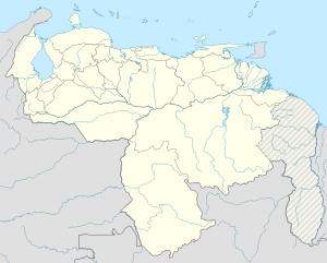
Libertador Municipality, Monagas
You can help expand this article with text translated from the corresponding article in Spanish. (May 2018) Click [show] for important translation instructions.
|
Libertador Municipality
Municipio Libertador | |
|---|---|
 Location in Monagas | |
| Coordinates: 9°04′25″N 62°35′21″W / 9.0736°N 62.5892°W | |
| Country | |
| State | Monagas |
| Government | |
| • Mayor | Miguel Presilla (PCV) |
| Area | |
• Total | 3,238.4 km2 (1,250.4 sq mi) |
| Population (2011) | |
• Total | 53,917 |
| • Density | 17/km2 (43/sq mi) |
| Time zone | UTC−4 (VET) |
| Website | Official website |
Libertador is one of the 13 municipalities of the state of Monagas, Venezuela. The municipality's capital is Temblador.
Geography
[edit]Libertador Municipality is located to the southwest of Monagas State. Its vegetation is tropical dry forest, with average annual temperature of 27.1°C and average annual precipitation of 1,000 mm. Among the main watercourses are Caño Mánamo and the Morichal Largo River.[citation needed]
Economy
[edit]The economy is based on agriculture and forestry (primarily pine plantations).[citation needed]
Culture
[edit]The indigenous Warao people live in Libertador Municipality. They speak Warao, an agglutinative language isolate.
Cuisine
[edit]A typical dish of this region is Soup of Ocumo, prepared with banana, jojoto and leaf sprouts of ocumo (Xanthosoma).
Public holidays
[edit]On September 8, the region celebrates the day of the Virgin of the Valley, patron of the east of Venezuela.
Mayor
[edit]- Miguel Presilla (2017 - 2021) PCV.


