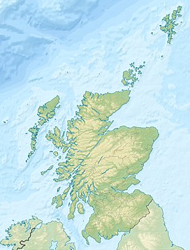
Hill of Stake
Appearance
| Hill of Stake | |
|---|---|
 | |
| Highest point | |
| Elevation | 522 m (1,713 ft)[1] |
| Prominence | 489 [1] |
| Listing | Marilyn |
| Coordinates | 55°49′N 4°46′W / 55.817°N 4.767°W |
| Geography | |
| Location | North Ayrshire and Renfrewshire, Scotland |
| OS grid | NS273630 |
| Topo map | OS Landranger 63 |
Hill of Stake is a hill on the boundary between North Ayrshire and Renfrewshire, Scotland.
Geography
[edit]The hill is 522 metres (1,713 feet) high and is the highest point of the relatively low-lying county of Renfrewshire and indeed the entire Clyde Muirshiel Regional Park of which it is a part, having a considerable topographic isolation.
History
[edit]Around the hill in the past several planes crashed due to bad weather conditions;[2] among them in 1938 is recorded a crash of a Spartan Cruiser and in 1947 of a Seafire.[3]
Notes
[edit]- ^ a b "Hill of Stake". Simon Edwardes. Retrieved 2 March 2019.
- ^ "Hill of Stake". Clyde Muirshiel Regional Park. Retrieved 2 March 2019.
- ^ "Aircraft Crashes In and Around Clyde Muirshiel Regional Park" (PDF). Clyde Muirshiel Regional Park. Retrieved 2 March 2019.
External links
[edit] Media related to Hill of Stake at Wikimedia Commons
- Hill of Stake on Geograph.org.uk

