Hatun Pawka
Appearance
| Hatun Pawka | |
|---|---|
| Highest point | |
| Elevation | 5,420 m (17,780 ft)[1] |
| Coordinates | 12°08′47″S 75°57′10″W / 12.14639°S 75.95278°W |
| Geography | |
| Location | Peru, Lima Region |
| Parent range | Andes, Cordillera Central |
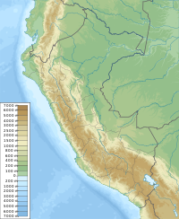
Hatun Pawka (Quechua hatun big, pawka a plant (Escallonia herrerae),[2][3] Hispanicized spelling Jatunpauca) is a 5,420-metre-high (17,782 ft) mountain in the Cordillera Central in the Andes of Peru. It is located in the Lima Region, Yauyos Province, on the border of the districts of Miraflores and Tanta. Hatun Pawka lies on a ridge southeast of Paqarin Pawka and northeast of a lake named Pisququcha.[1][4]
References
[edit]- ^ a b "Nevado Jatunpauca". IGN, Peru. Archived from the original on May 9, 2015. Retrieved May 13, 2015.
- ^ Teofilo Laime Ajacopa (2007). Diccionario Bilingüe: Iskay simipi yuyayk’anch: Quechua – Castellano / Castellano – Quechua (PDF). La Paz, Bolivia: futatraw.ourproject.org.
- ^ Diagnóstico y Plan Maestro del Santuario Nacional de Ampay, 7. Flora y Fauna del SN de Ampay
- ^ escale.minedu.gob.pe - UGEL map of the Yauyos Province (Lima Region)

