Ferris Mountains
Appearance
(Redirected from Ferris Mountain)
| Ferris Mountains | |
|---|---|
 North face of Ferris Mountains | |
| Highest point | |
| Peak | Ferris Peak |
| Elevation | 10,037 ft (3,059 m) |
| Coordinates | 42°15′25″N 107°14′22″W / 42.25694°N 107.23944°W |
| Geography | |
| Country | United States |
| State | Wyoming |
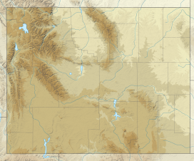
The Ferris Mountains are a small mountain range in Carbon County, Wyoming.[1] A high white cliff undulates along the entire length of the south side of the range, making it uniquely noticeable. The cliff is predominantly visible from U.S. Route 287. The highest peak in the range is Ferris Peak, which rises to an elevation of 10,037 feet (3,059 m). Ferris peak stands 3,000 feet (910 m) above the surrounding valley, and is the highest peak in the Great Divide Basin.[2]
Most of the range is covered by a BLM Wilderness Study Area.[2]

See also
[edit]Notes
[edit]- ^ "Ferris Mountains". Geographic Names Information System. United States Geological Survey, United States Department of the Interior.
- ^ a b "Ferris Mountain WSA". United States Bureau of Land Management. Retrieved 8 June 2014.
External links
[edit]- Ferris Mountains Wilderness Study Area - BLM page

