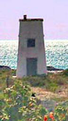
Cockburn Harbour
Appearance
This article has multiple issues. Please help improve it or discuss these issues on the talk page. (Learn how and when to remove these messages)
|
 | |
 | |
| Location | Cockburn Harbour Turks and Caicos Islands |
|---|---|
| Coordinates | 21°29′18″N 71°31′43″W / 21.488472°N 71.528583°W |
| Tower | |
| Constructed | 1890 |
| Foundation | concrete base |
| Construction | concrete tower |
| Height | 5 m (16 ft) |
| Shape | square frustum tower with light shown through a window |
| Markings | white tower |
| Power source | solar power |
| Light | |
| Focal height | 15 m (49 ft) |
| Range | 9 nmi (17 km; 10 mi) |
| Characteristic | F W |
Cockburn Harbour is a settlement in the Turks and Caicos. It is the largest community on the island of South Caicos, with some 811 people. It has the best natural harbour of the Caicos Islands, and was once an important centre for regional trade and a major exporter of salt. Today its main industries are fishing and tourism.
See also
[edit]References
[edit]- Rowlett, Russ. "Lighthouses of the Turks and Caicos Islands". The Lighthouse Directory. University of North Carolina at Chapel Hill. Retrieved 27 January 2017.
- List of Lights, Pub. 110: Greenland, The East Coasts of North and South America (Excluding Continental U.S.A. Except the East Coast of Florida) and the West Indies (PDF). List of Lights. United States National Geospatial-Intelligence Agency. 2016.
