Aggeneys Airport
Appearance
Aggeneys Airport | |||||||||||
|---|---|---|---|---|---|---|---|---|---|---|---|
| Summary | |||||||||||
| Airport type | Public | ||||||||||
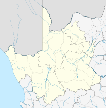
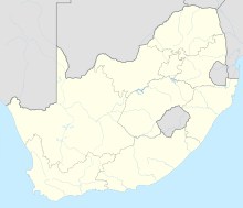
| Serves | Aggeneys (Namakwa District Municipality), Northern Cape, South Africa | ||||||||||
| Elevation AMSL | 2,648 ft / 807 m | ||||||||||
| Coordinates | 29°16′54″S 018°48′49″E / 29.28167°S 18.81361°E | ||||||||||
| Map | |||||||||||
 | |||||||||||
| Runways | |||||||||||
| |||||||||||
Aggeneys Airport (IATA: AGZ, ICAO: FAAG) is an airport serving Aggeneys, a town in the Northern Cape, South Africa.[1]
Facilities
[edit]The airport resides at an elevation of 2,648 feet (807 m) above mean sea level. It has one runway designated 07/25 with an asphalt surface measuring 2,080 by 20 metres (6,824 ft × 66 ft).[1]The nearest airport to it is Randburg Heliport Airport.
See also
[edit]References
[edit]- ^ a b c Airport information for FAAG[usurped] from DAFIF (effective October 2006)
- ^ Airport information for AGZ at Great Circle Mapper. Source: DAFIF (effective October 2006).


