Adjohoun
Adjohoun | |
|---|---|
| Coordinates: 6°42′N 2°28′E / 6.700°N 2.467°E | |
| Country | |
| Department | Ouémé Department |
| Commune | Adjohoun |
| Area | |
• Total | 308 km2 (119 sq mi) |
| Population (2002) | |
• Total | 60,955 |
| • Density | 200/km2 (510/sq mi) |
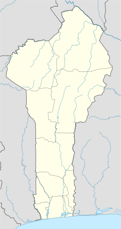
Adjohoun [a.dʒo.un] or Adjohon [a.dʒɔ.ɔ̃] is a town, arrondissement, and commune in Ouémé Department, Benin. The commune is divided into 8 arrondissements and 57 villages. The commune of Adjohoun is located approximately 32 km from Porto-Novo and 62 km from Cotonou. The commune covers an area of 308 km2 and as of 2002 had a population of 60,955, 48.14% male and 51.86% female. The commune covers an area of 112 square kilometres and as of 2002 had a population of 60,112 people.[1][2]
Geography
[edit]Adjohoun is located in the Ouémé River valley. It is a fertile area in which agricultural pastures dominate.
Administration
[edit]The commune is divided into 8 arrondissements. These are Adjohoun, Awonou, Azowlissé, Dèmè, Gangban, Kogé and Togbota. The City Council is composed of 15 advisers who elect the mayor, who is currently Leon Bokova. A former mayor is Gerard Adounsiba. The District Council is composed of 13 advisers who elect the Chief District.[citation needed]
Economy
[edit]Crops grown include maize, rice, potatoes, sesame, tomatoes, oranges and bananas. Fishing is also one of the main industries.[3]
References
[edit]- ^ "Adjohoun". Atlas Monographique des Communes du Benin. Archived from the original on May 9, 2021. Retrieved January 5, 2010.
- ^ "Communes of Benin". Statoids. Archived from the original on 2 January 2010. Retrieved January 5, 2010.
- ^ "Benin: River flooding prompts fears of malnutrition, disease". ReliefWeb. Retrieved 2020-01-21.
External links
[edit]


