Ōmoeroa River
Appearance
| Ōmoeroa River | |
|---|---|
 Route of the Ōmoeroa River | |
| Location | |
| Country | New Zealand |
| Region | West Coast |
| District | Westland |
| Physical characteristics | |
| Source | Baumann Glacier |
| • coordinates | 43°27′51″S 170°08′48″E / 43.4642°S 170.1467°E |
| Mouth | Tasman Sea |
• coordinates | 43°18′46″S 170°01′43″E / 43.31277°S 170.02861°E |
• elevation | 0 m (0 ft) |
| Length | 25 kilometres (16 mi) |
| Basin features | |
| Progression | Ōmoeroa River → Tasman Sea |
| River system | Ōmoeroa River |
| Tributaries | |
| • left | Gibb Creek |
| • right | Pug Creek |
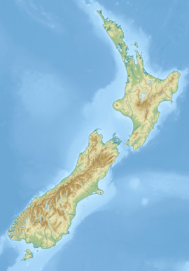
The Ōmoeroa River is a river of the West Coast region of New Zealand's South Island. It flows northwest from its source high in the Southern Alps, 14 kilometres north of Aoraki / Mount Cook, reaching the Tasman Sea 12 kilometres west of Franz Josef.[1]
The New Zealand Ministry for Culture and Heritage gives a translation of "place of the long sleep" for Ōmoeroa.[2]
See also
[edit]References
[edit]- ^ "Place name detail: Ōmoeroa River". New Zealand Gazetteer. New Zealand Geographic Board. Retrieved 1 October 2023.
- ^ "1000 Māori place names". New Zealand Ministry for Culture and Heritage. 6 August 2019.


