Wotherton
Appearance
| Wotherton | |
|---|---|
 Cottage in Wotherton | |
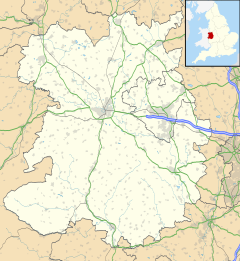
Location within Shropshire | |
| OS grid reference | SJ281005 |
| Civil parish | |
| Unitary authority | |
| Ceremonial county | |
| Region | |
| Country | England |
| Sovereign state | United Kingdom |
| Post town | MONTGOMERY |
| Postcode district | SY15 |
| Dialling code | 01938 |
| Police | West Mercia |
| Fire | Shropshire |
| Ambulance | West Midlands |
| UK Parliament | |
Wotherton is a hamlet in west Shropshire, close to the Welsh border. It is in the civil parish of Chirbury with Brompton. Its name, mentioned as a manor in Domesday means, roughly, "settlement at a woodland ford"; the road through the village crosses a small stream.[1]
The Wotherton Barytes Mine operated here until 1911.
See also
[edit]References
[edit]Wikimedia Commons has media related to Wotherton.
- ^ Gelling, M. The place-names of Shropshire, vol I: The major names of Shropshire, English Place-Name Society, 1990, p.328

