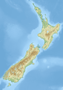
User:Seaem/sandbox
Appearance
| UTC time | ?? |
|---|---|
| Magnitude | 6.6 Mw |
| Depth | 8 kilometres (5 mi) |
| Epicenter | 41°37′S 174°20′E / 41.61°S 174.33°E |
| Areas affected | |
| Tsunami | None |
| Casualties | 4 people injured[1] |
The August 2013 Seddon earthquake was an earthquake that measured at 6.6 on the moment magnitude scale, centered in central New Zealand at around 10 kilometres south of the town Seddon in Marlborough. The earthquake struck at 2:31 pm at a depth of 8km according to GeoNet. It caused much more damage than the July 19 earthquake around the same area, with chimneys falling down, and houses caving in.


