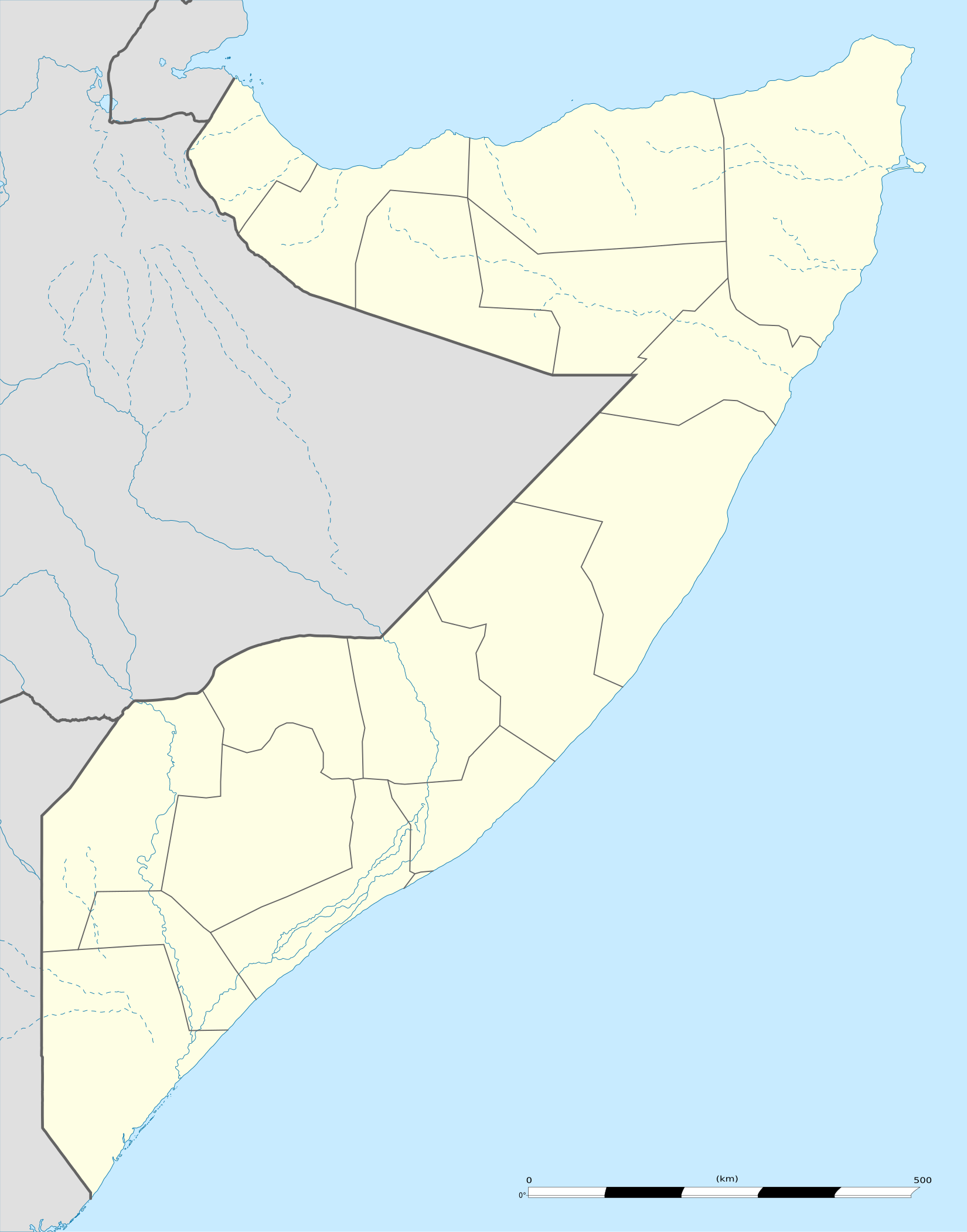
Template:Somali Civil War detailed map
Appearance

Dhasaan
Garmaal
Ghuriasamo
Hul-Canood
Shebaab
Bush Madina
Danunay
Goof Gaduud
Galcad
Masagaway
Caad
Balad base
Hagar
Halgan
Dujuma
Cammaara
Ceel Adde
Hold cursor over location to display name; click to go to sources &/or status description (if available, the cursor will show as  ; if not, it will show as
  ).
).
2 nested circles: Controlled by inner, but under siege by outer
Large circle with different icons inside: Situation in military/economic installations in and around city
 Under control of the Government, regional governments like SSC-Khatumo, and Allies
 Under control of the Jubaland regional Government, Jubaland Dervish Force, Raskamboni Movement, and/or other allied militias
 Under control of the Puntland regional Government and allied groups
 Under control of the Al-Shabaab and Allies
 Under control of Somaliland Government
 Under control of ISIL
 Under control of local forces and unaligned tribes
Contested
 Government & Allies - Al-Shabaab
 Government & Allies - ISIL
 Al-Shabaab - ISIL
 Government (Puntland) - Somaliland
 Somaliland - ISIL
 Somaliland - Al-Shabaab
 Local forces - ISIL
 Local forces - Somaliland
 Local forces - Al-Shabaab
 Government & Allies - Local forces
Other


 Army base


 Airport or air base (jet)


 Airport or air base (helicopter)
 Major port, naval base, or oil terminal
 Border post
 Dam
Dam Industrial complex or oilfield
2 nested circles: Controlled by inner, but under siege by outer
Large circle with different icons inside: Situation in military/economic installations in and around city
| This template may have no transclusions. This is because it is substituted by a tool or script, it is used as part of a short-term or less active Wikipedia process, or for some other reason. |
| This template uses Lua: |
How war map template work with other parts of Wikipedia
[edit]
How war map template work with other parts of Wikipedia
[edit]
