Ngatau River
Appearance
| Ngatau River | |
|---|---|
 Route of the Ngatau River | |
| Location | |
| Country | New Zealand |
| Region | West Coast |
| District | Westland |
| Physical characteristics | |
| Source | Dispute Glacier |
| • coordinates | 44°06′30″S 169°00′06″E / 44.1084°S 169.0018°E |
| Mouth | |
• location | Okuru River |
• coordinates | 44°03′10″S 169°08′47″E / 44.0527°S 169.1463°E |
| Length | 15 km (9 mi) |
| Basin features | |
| Progression | Ngatau River → Okuru River → Tasman Sea |
| Tributaries | |
| • left | Dernier Torrent, Shale Stream, Deepworn Torrent, Twinkle Brook, Tinkle Rill |
| • right | Ultima Creek, Flicker Creek |
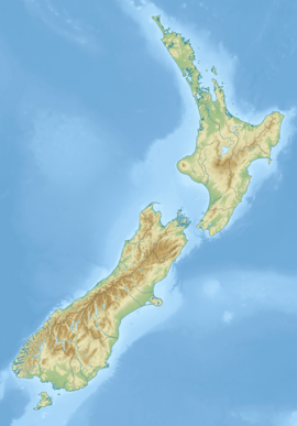
The Ngatau River is a river of the West Coast region of New Zealand's South Island. It flows north-west from its sources in the Southern Alps to meet the Okuru River 20 kilometres (12 mi) south-east of Haast. The river's entire length is within Mount Aspiring National Park.
See also
[edit]References
[edit]"Place name detail: Ngatau River". New Zealand Gazetteer. Land Information New Zealand. Retrieved 12 July 2009.


