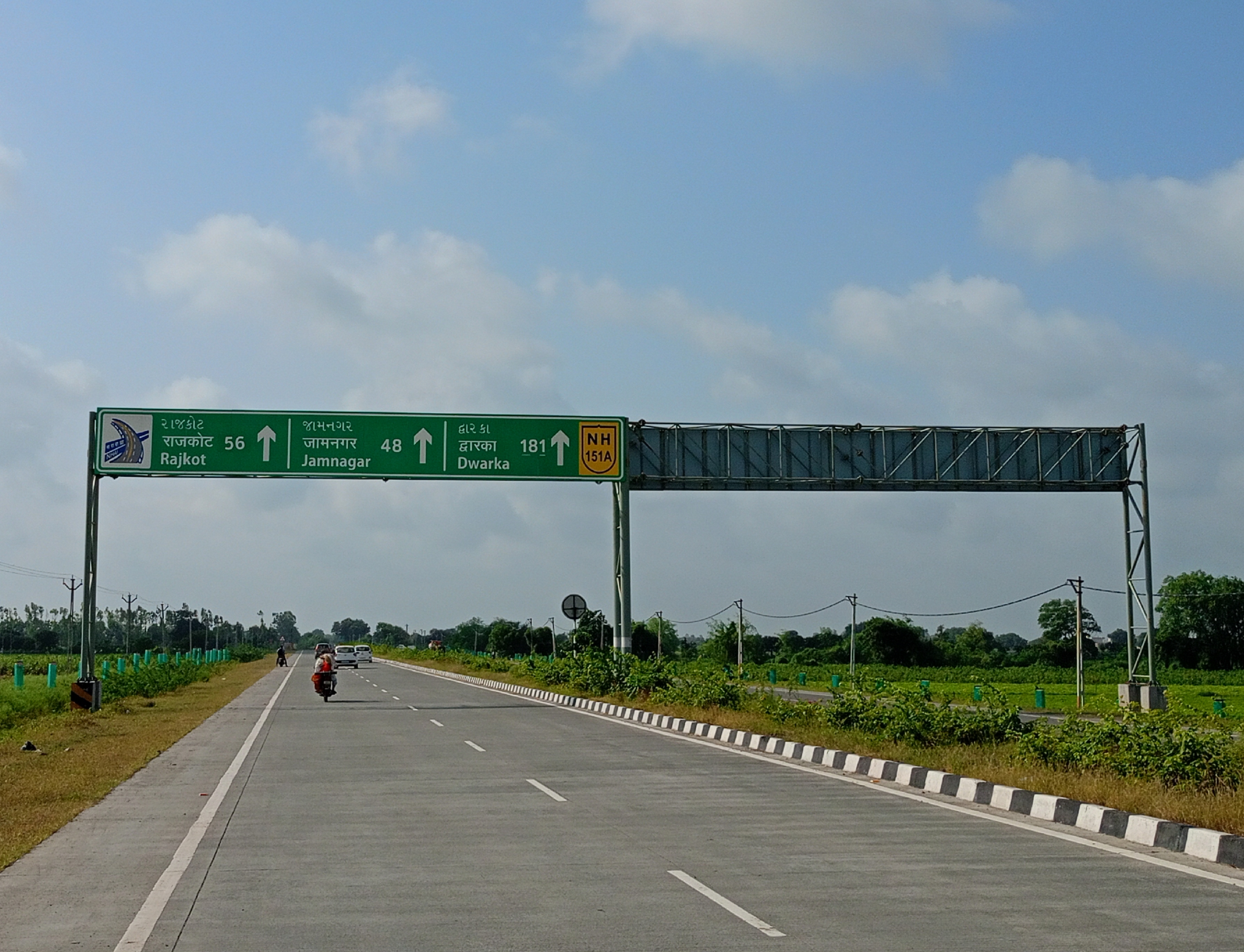
National Highway 151A (India)
Appearance
| National Highway 151A | ||||
|---|---|---|---|---|
| Route information | ||||
| Auxiliary route of NH 51 | ||||
| Length | 290 km (180 mi) | |||
| Major junctions | ||||
| West end | Dwarka | |||
| East end | Maliya | |||
| Location | ||||
| Country | India | |||
| States | Gujarat | |||
| Highway system | ||||
| ||||
National Highway 151A, commonly referred to as NH 151A is a national highway in India.[1][2] It is a secondary route of National Highway 51.
[3] NH-151A runs in the state of Gujarat in India.[2] it starts at National Highway 51 karungaa chokdi in dwarka and finish at maliya junction of National Highway 27 in morbi district. It's route be like dwarka -Khambhalia-devariya -jamnagar-dhrol-bhadra patiya -maliya.

Route
[edit]NH151A connects Dwarka, Khambaliya, Jamnagar, Dhrol, Amran and Maliya in the state of Gujarat.[1][2]
Junctions
[edit]This article contains a bulleted list or table of intersections which should be presented in a properly formatted junction table. (November 2021) |
See also
[edit]References
[edit]- ^ a b c d "New national highways declaration notification" (PDF). The Gazette of India - Ministry of Road Transport and Highways. Retrieved 14 March 2019.
- ^ a b c "State-wise length of National Highways (NH) in India". Ministry of Road Transport and Highways. Retrieved 14 March 2019.
- ^ "New Numbering of National Highways notification - Government of India" (PDF). The Gazette of India. Retrieved 14 March 2019.
External links
[edit]


