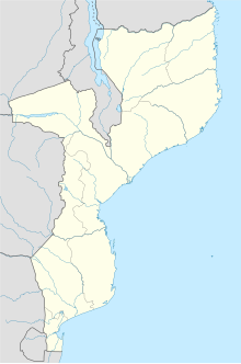
Muar River (Mozambique)
Appearance
| Muar River | |
|---|---|
 Mozambique | |
| Location | |
| Country | Mozambique |
| Province | Sofala |
| Physical characteristics | |
| Length | 0.025 km (0.016 mi) |
Muar River (Rio Muar) is a stream in Sofala province of Mozambique.[1]
See also
[edit]References
[edit]20°44′57″S 34°27′51″E / 20.74917°S 34.46417°E
