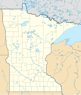
Lone Tree Wildlife Management Area
Appearance
| Lone Tree State Wildlife Management Area | |
|---|---|
IUCN category IV (habitat/species management area) | |
| Location | Seward Township, Nobles County, Minnesota |
| Nearest city | Fulda |
| Coordinates | 43°48′40″N 95°37′26″W / 43.81111°N 95.62389°W |
| Area | 482.49 acres (1.95 km2) |
| Governing body | Minnesota Department of Natural Resources |
Lone Tree Wildlife Management Area is a wildlife management area in Seward Township, Nobles County, Minnesota.[1] The nearest town is Fulda. Its area is 482.49 acres (195.26 ha).[2][3]
References
[edit]- ^ "GeoNames.org". www.geonames.org. Retrieved February 7, 2021.
- ^ "Lone Tree WMA: North Unit". Minnesota Department of Natural Resources. Retrieved February 7, 2021.
- ^ "Lone Tree WMA: South Unit". Minnesota Department of Natural Resources. Retrieved February 7, 2021.


