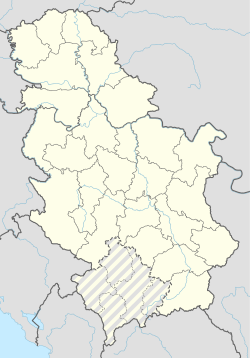
Ljanik
Appearance
Ljanik
Љаник (Serbian) | |
|---|---|
| Coordinates: 42°18′47″N 21°49′05″E / 42.31306°N 21.81806°E | |
| Country | |
| District | Pčinja District |
| Municipality | Preševo |
| Area | |
• Total | 5.33 km2 (2.06 sq mi) |
| Population (2002) | |
• Total | 29 |
| • Density | 5.4/km2 (14/sq mi) |
| Time zone | UTC+1 (CET) |
| • Summer (DST) | UTC+2 (CEST) |
Ljanik (Serbian Cyrillic: Љаник) is a village located in the municipality of Preševo, Serbia. According to the 2002 census, the village has a population of 29 people, all ethnic Serbs.[2] The toponym is derived from ljanik, a variant of the word pčelinjak ("apiary").[3][4] The village was known for its beehives and hence got its name.[5] There are two neighbourhoods (mahale), called Selo and Rosulja. It is located at the slopes of the Rujan mountain.
The village is one out of four with Serb majority in the Preševo municipality, along with Svinjište, Slavujevac and Cakanovac; the rest having an Albanian majority.
References
[edit]- ^ "Насеља општине Прешево" (pdf). stat.gov.rs (in Serbian). Statistical Office of Serbia. Retrieved 22 October 2019.
- ^ Popis stanovništva, domaćinstava i Stanova 2002. Knjiga 1: Nacionalna ili etnička pripadnost po naseljima. Republika Srbija, Republički zavod za statistiku Beograd 2003. ISBN 86-84433-00-9
- ^ Слободан Реметић (1 January 2013). Српски дијалектолошки зборник 60. Институт за српски језик САНУ. pp. 713–. GGKEY:XD3YECDU5TJ.
- ^ Slobodan Remetić (1 January 2010). Српски дијалектолошки зборник 57. Институт за српски језик САНУ. pp. 431–. GGKEY:1NR1DDCYHJW.
- ^ Момчило Златановић: Топомија насеља у средњем сливу Пчиње (пет насеља), Врањски гласник XXI, Врање 1988, стр. 165.

