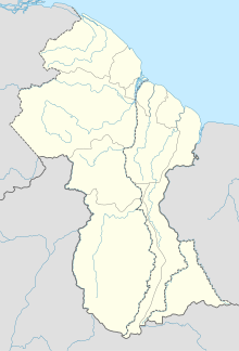
Linden Airport (Guyana)
Appearance
Linden Airport | |||||||||||
|---|---|---|---|---|---|---|---|---|---|---|---|
| Summary | |||||||||||
| Airport type | Public | ||||||||||
| Operator | Government | ||||||||||
| Serves | Linden, Guyana | ||||||||||
| Elevation AMSL | 180 ft / 55 m | ||||||||||
| Coordinates | 5°57′57″N 58°16′13″W / 5.96583°N 58.27028°W | ||||||||||
| Map | |||||||||||
 | |||||||||||
| Runways | |||||||||||
| |||||||||||
Linden Airport (ICAO: SYLD) is an airport serving Linden, the capital of the Upper Demerara-Berbice region of Guyana.
Facilities
[edit]The airport elevation is 180 feet (55 m) above mean sea level. Its 1,524-meter runway, designated 11/29, has an asphalt surface.[1]
See also
[edit]References
[edit]- ^ a b Airport information for SYLD[usurped] from DAFIF (effective October 2006)
- ^ Airport information for SYLD at Great Circle Mapper. Source: DAFIF (effective October 2006).
- ^ Bing Maps - Linden
External links
[edit]

