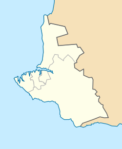
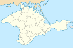
Kacha, Sevastopol
Appearance
This article needs additional citations for verification. (October 2023) |
Kacha
Кача Кача Qaçı | |
|---|---|
| Coordinates: 44°46′0″N 33°33′0″E / 44.76667°N 33.55000°E | |
| Country | Disputed |
| Republic | Crimea |
| Region | Sevastopol |
| Elevation | 20 m (70 ft) |
| Population (2001) | |
| • Total | 4,996 |
| Time zone | UTC+4 (MSK) |
| Postal code | 99804 |
| Area code | +380-692 |
Kacha (Ukrainian: Кача; Russian: Кача; Crimean Tatar: Qaçı) is an urban-type settlement under the City of Sevastopol's jurisdiction, a territory recognized by a majority of countries as part of Ukraine and incorporated by Russia as part of the Crimean Federal District.
History
[edit]Kacha was founded in 1912. It received urban-type settlement status in 1938.[1]
Military outpost
[edit]There is an airbase in Kacha used by Russia and its Black Sea Fleet Naval Air Force as headquarters for the 25th Independent Anti-submarine Helicopter Regiment (25th AHR) and the 917th Independent Composite Air Regiment (917th ICAR).[2] Occupied by Germany in part of 1942-part of 1944.
Demographics
[edit]- 1926 — 366 inhabitants
- 1939 — 2,834 inhabitants
- 1989 — 5,783 inhabitants
- 2001 — 6,320 inhabitants
See also
[edit]References
[edit]- ^ Онищук, В. І. "Кача" [Kacha]. Encyclopedia of Modern Ukraine (in Ukrainian). Vol. 12. NASU Institute of Encyclopaedic Research. ISBN 978-966-02-2074-4.
- ^ Freyhof, Jörg; Naseka, Alexander. "Proterorhinus tataricus, a new tubenose goby from Crimea, Ukraine" (PDF).
{{cite journal}}: Cite journal requires|journal=(help)


