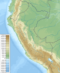
Jatun Huiscana
Appearance
| Jatun Huiscana | |
|---|---|
| Highest point | |
| Elevation | 4,600 m (15,100 ft)[1] |
| Coordinates | 13°10′28″S 71°59′26″W / 13.17444°S 71.99056°W[2] |
| Naming | |
| Language of name | Quechua |
| Geography | |
| Location | Peru, Cusco Region, Calca Province, Lares District |
| Parent range | Andes, Urubamba |
Jatun Huiscana[2] (possibly from Quechua hatun big, wisq'ana lock, wiskana a kind of pickaxe,[3][4] "big lock" or "big pickaxe") is a mountain in the Urubamba mountain range in the Andes of Peru, about 4,600 metres (15,092 ft) high. It lies in the Cusco Region, Calca Province, Lares District. Jatun Huiscana is situated northwest of Ccerayoc and Yanaorcco, and northeast of Sahuasiray.[1]
References
[edit]- ^ a b escale.minedu.gob.pe - UGEL map of the Calca Province (Cusco Region)
- ^ a b "Cerro Jatun Huiscana". IGN, Peru. Archived from the original on June 29, 2015. Retrieved June 27, 2015.
- ^ Teofilo Laime Ajacopa (2007). Diccionario Bilingüe: Iskay simipi yuyayk’anch: Quechua – Castellano / Castellano – Quechua (PDF). La Paz, Bolivia: futatraw.ourproject.org.
- ^ Gladys Camacho Rios, Phuyup Yawar Waqaynin, The bloody tear of a cloud

