Iberger Kugel
Appearance
| Iberger Kugel | |
|---|---|
| Highest point | |
| Elevation | 1,013 m (3,323 ft) |
| Coordinates | 47°38′20.8″N 10°04′38.5″E / 47.639111°N 10.077361°E |
| Geography | |
| Location | Baden-Württemberg, Germany |
| Parent range | Allgäu Alps |
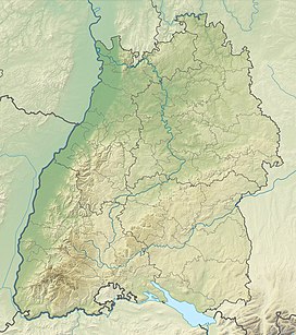
The Iberger Kugel is a 1,013 metre high mountain in the Allgäu, located seven kilometers southeast of Isny im Allgäu.
A transmitter on top of the mountain transmits the radio stations Radio 7 on FM 105.0 and Radio Seefunk on FM 103.9.
External links
[edit]![]() Media related to Iberger Kugel at Wikimedia Commons
Media related to Iberger Kugel at Wikimedia Commons

