High Newton
Appearance
| High Newton | |
|---|---|
 The Crown public house, now called Heft High Newton | |
Location within Cumbria | |
| OS grid reference | SD401828 |
| Civil parish | |
| Unitary authority | |
| Ceremonial county | |
| Region | |
| Country | England |
| Sovereign state | United Kingdom |
| Post town | GRANGE-OVER-SANDS |
| Postcode district | LA11 |
| Dialling code | 015395 |
| Police | Cumbria |
| Fire | Cumbria |
| Ambulance | North West |
| UK Parliament | |
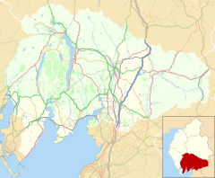
High Newton is a village in the civil parish of Lindale and Newton-in-Cartmel, in the Westmorland and Furness Unitary Authority, in the ceremonial county of Cumbria, England.
By-pass
[edit]Formerly, the village was bisected by the A590 road until a bypass of the village and its neighbour Low Newton was completed.[1] It opened on Tuesday 8 April 2008.
Nearby settlements
[edit]Nearby settlements include the town of Grange-over-Sands, the villages of Lindale, Low Newton and Newby Bridge and the hamlets of Ayside, Field Broughton and Barber Green.
See also
[edit]References
[edit]- ^ "A590 High and Low Newton Bypass". CEEQUAL. 19 December 2017. Retrieved 23 September 2019.
External links
[edit]- Cumbria County History Trust: Upper Allithwaite (nb: provisional research only – see Talk page)
Wikimedia Commons has media related to High Newton.


