Chiralla
Appearance
This article needs additional citations for verification. (January 2020) |
Chiralla | |
|---|---|
Village | |
| Coordinates: 33°02′30″N 75°40′40″E / 33.04167°N 75.67778°E | |
| Country | |
| Union territory | Jammu and Kashmir |
| Region | Jammu region |
| District | Doda |
| Population (2011) | |
| • Total | 5,502 |
| Demonym | Bhaderwahi |
| Language | |
| • Spoken | Kashmiri, Bhaderwahi, Gojri |
| • Official | Urdu |
| Time zone | UTC+5:30 (IST) |
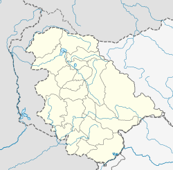
Chiralla is an Indian village and a tehsil in Doda district of Jammu and Kashmir. It was formerly part of Thathri tehsil and block. This tehsil have 9 Panchayats including Bhallara, Chagsoo, Jagota, Chiralla, Panshei, Puneja, Rokali, Sunarthawa and Thallela.
Population
[edit]According to Census 2011, the total population of tehsil Chiralla is 5,502.[1]
References
[edit]- ^ "Villages in Thathri tehsil - Census 2011". Census of India. Retrieved 13 June 2020.

