Ryer Island
 USGS aerial imagery of the island. | |
| Geography | |
|---|---|
| Location | Northern California |
| Coordinates | 38°14′37″N 121°37′52″W / 38.24357°N 121.63101°W |
| Adjacent to | Sacramento-San Joaquin River Delta |
| Area | 11,700 acres (4,700 ha) |
| Administration | |
| State | |
| County | Solano |

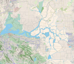
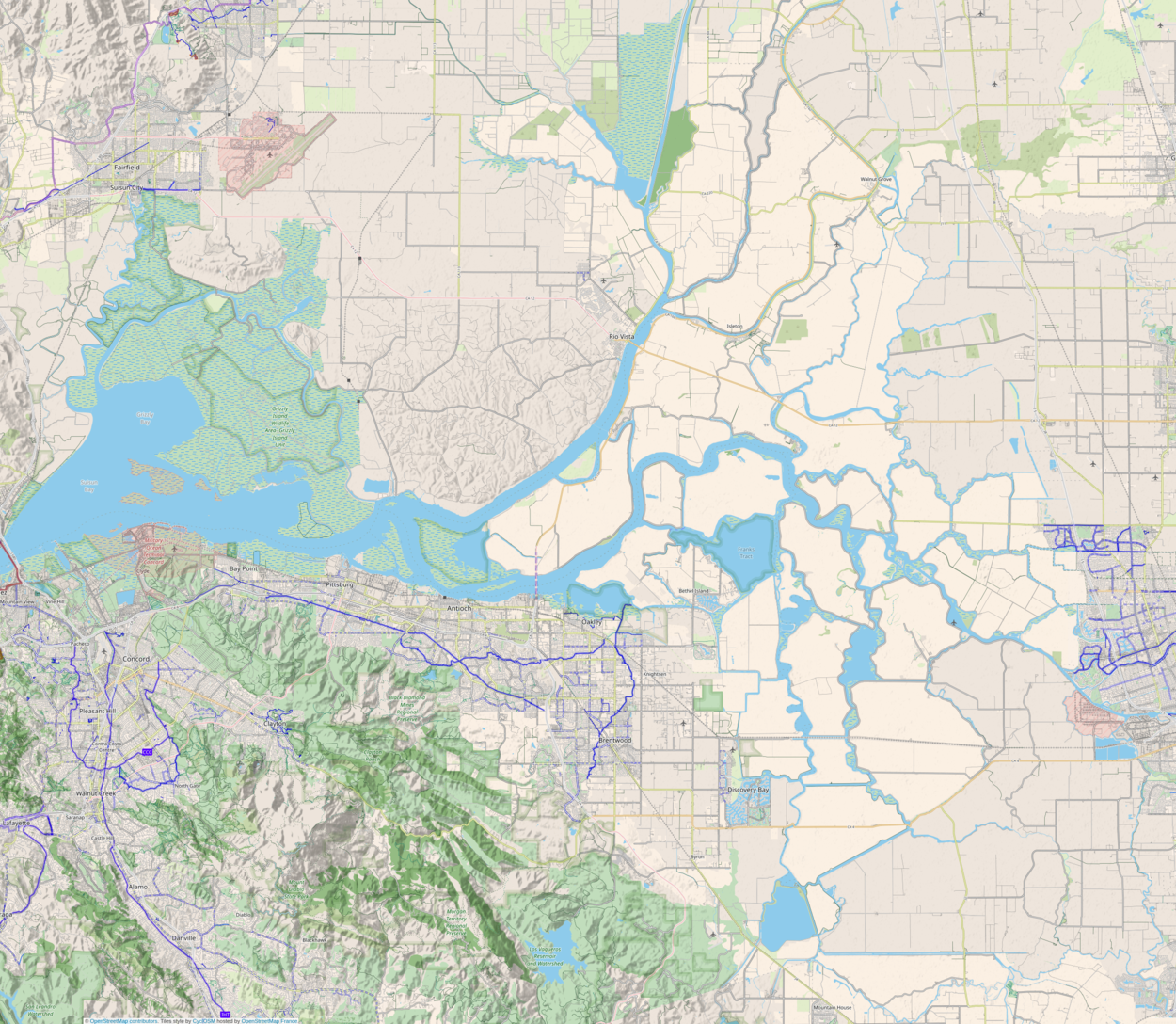
Ryer Island is an island in the Sacramento-San Joaquin River Delta surrounded by Miner Slough and Steamboat Slough at their confluence with the Sacramento River, 6.5 miles north-northeast of Rio Vista.[1] It is in Solano County, California, and managed by Reclamation District 501.[2] The 4,750 ha (11,700-acre) island is named in honor of a California pioneer, Dr. Washington M. Ryer, and his family. A map prepared at the time of statehood shows the area divided by the west fork of the Sacramento River, with the western half identified as Priest Island and the eastern half identified as Sutter Island.[3]
The California Department of Transportation (Caltrans) operates two vehicle ferry services to the island, connecting the following state highways:[4]
Highway 220 then terminates at Highway 84 on Ryer Island, while the latter leaves the island north on a bridge, and towards West Sacramento.
See also
[edit]References
[edit]- ^ David L. Durham, California's Geographic Names: A Gazetteer of Historic and Modern Names of This State. p. 693. Quill Driver Books. (1998) ISBN 1-884995-14-4.
- ^ "Municipal Service Review: Solano County Water, Irrigation, Reclamation, and Flood Management Agencies" (PDF). Solano County LAFCO. Michael Brandman Associates. 13 April 2009. Retrieved 25 February 2021.
- ^ Ringgold, Cadwalader; Stuart, Fred D.; Everett, Chas.; Harrison (1850). "General Chart embracing Surveys of the Farallones Entrance to the Bay of San Francisco, Bays of San Francisco and San Pablo, Straits of Carquines and Suisun Bay, and the Sacramento and San Joaquin Rivers, to the Cities of Sacramento and San Joaquin, California". David Rumsey Map Collection. San Francisco Common Council. Retrieved 25 February 2021.
- ^ "Special Route Restrictions". Caltrans. Retrieved 2016-06-17.
External links
[edit]


