Jump to content

Manantali

Coordinates: 13°12′N 10°28′W / 13.200°N 10.467°W / 13.200; -10.467
From Wikipedia, the free encyclopedia

This is the current revision of this page, as edited by Ser Amantio di Nicolao (talk | contribs) at 08:18, 28 May 2017 (Cat-a-lot: Moving from Category:Populated places in the Kayes Region to Category:Populated places in Kayes Region). The present address (URL) is a permanent link to this version.

(diff) ← Previous revision | Latest revision (diff) | Newer revision → (diff)
Manantali
Town
Lake Manantali. The town is located on the north-western side of the lake.
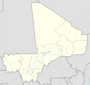
Manantali is located in Mali
Manantali
Manantali
Location in Mali
Coordinates: 13°12′N 10°28′W / 13.200°N 10.467°W / 13.200; -10.467
Country Mali
RegionKayes Region
Time zoneUTC+1 (WAT)

Manantali is a town on the Bafing River in the Kayes Region of south-western Mali. East of the town is Lake Manantali and its dam. It is a small town but there is a daily ( morning) market, some shops, a small petrol station and a campsite on the river.

Transport

[edit]

The town is served by Bengassi Airport.