Makajapingo
Appearance
Makajapingo | |
|---|---|
| Coordinates: 4°43′N 55°34′W / 4.717°N 55.567°W | |
| Country | |
| District | Sipaliwini District |
| Resort (municipality) | Boven Saramacca |
| Elevation | 207 ft (63 m) |
| Time zone | UTC-3 |
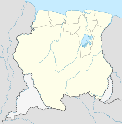
Makajapingo is a village in Boven Saramacca (resort) in Sipaliwini District in Suriname. The village is inhabited by Matawai people.[1]
Nearby towns and villages include Pakka-Pakka (8.6 nm), Moetoetoetabriki (7.0 nm), Tabrikiekondre (3.2 nm), Stonkoe (3.2 nm) and Warnakomoponafaja (2.0 nm).
The villages does not have a school or a clinic, but does have a church, and unlike most Matawai settlements, it is Catholic.[1]
References
- ^ a b "Structuur Analyse" (PDF). Planning Office Suriname (in Dutch). Retrieved 25 May 2020.

