File:Whitehall1799.jpg
Appearance

Size of this preview: 282 × 599 pixels. Other resolutions: 113 × 240 pixels | 408 × 867 pixels.
Original file (408 × 867 pixels, file size: 84 KB, MIME type: image/jpeg)
File history
Click on a date/time to view the file as it appeared at that time.
| Date/Time | Thumbnail | Dimensions | User | Comment | |
|---|---|---|---|---|---|
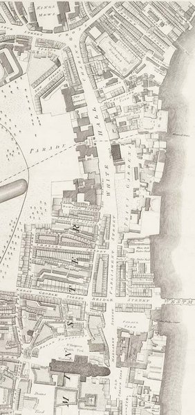
| current | 18:29, 3 February 2006 |  | 408 × 867 (84 KB) | Merchbow~commonswiki | The vicinity of Whitehall in 1799 from Richard Horwood's 1700 map of London, Westminster & Southwark. Category:Whitehall Category:Maps of London |
File usage
The following page uses this file:
Global file usage
The following other wikis use this file:
- Usage on az.wiki.x.io
- Usage on ca.wiki.x.io
- Usage on he.wiki.x.io
- Usage on it.wiki.x.io
- Usage on ja.wiki.x.io
- Usage on simple.wiki.x.io
- Usage on uk.wiki.x.io
