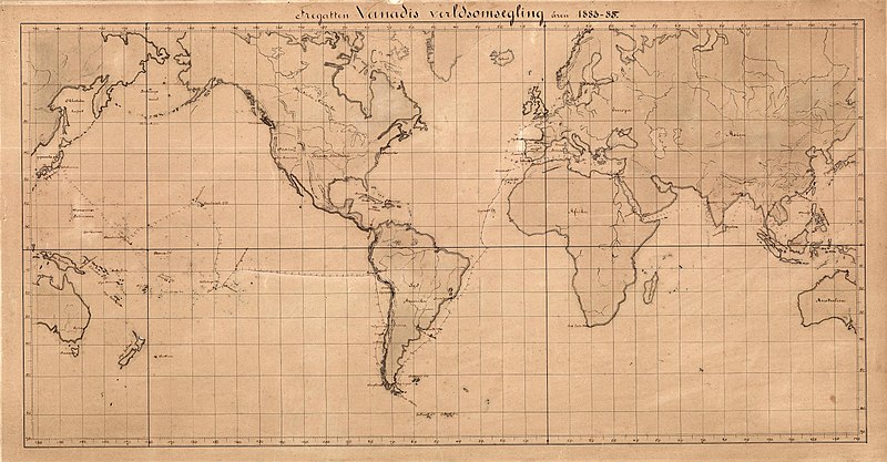
File:Vanadis expedition map.jpg
Appearance

Size of this preview: 800 × 417 pixels. Other resolutions: 320 × 167 pixels | 640 × 333 pixels | 1,024 × 533 pixels | 1,280 × 666 pixels | 3,296 × 1,716 pixels.
Original file (3,296 × 1,716 pixels, file size: 1.14 MB, MIME type: image/jpeg)
File history
Click on a date/time to view the file as it appeared at that time.
| Date/Time | Thumbnail | Dimensions | User | Comment | |
|---|---|---|---|---|---|
| current | 11:54, 23 November 2019 |  | 3,296 × 1,716 (1.14 MB) | Magnus J | {{Information |description =Karta över fregatten Vanadis världsomsegling åren 1883-85. Kartan är från Sjöhistoriska museet. |date =1885? |source =Sjöhistoriska museet https://digitaltmuseum.se/011024826802/karta |author =Okänd }} Category:1880s maps of the world |
File usage
The following 2 pages use this file:
Global file usage
The following other wikis use this file:
- Usage on sv.wiki.x.io
