
File:Map CZ - district Chrudim.PNG

Size of this preview: 800 × 548 pixels. Other resolutions: 320 × 219 pixels | 640 × 439 pixels | 1,024 × 702 pixels | 1,281 × 878 pixels.
Original file (1,281 × 878 pixels, file size: 37 KB, MIME type: image/png)
| This is a file from the Wikimedia Commons. Information from its description page there is shown below. Commons is a freely licensed media file repository. You can help. |
Summary
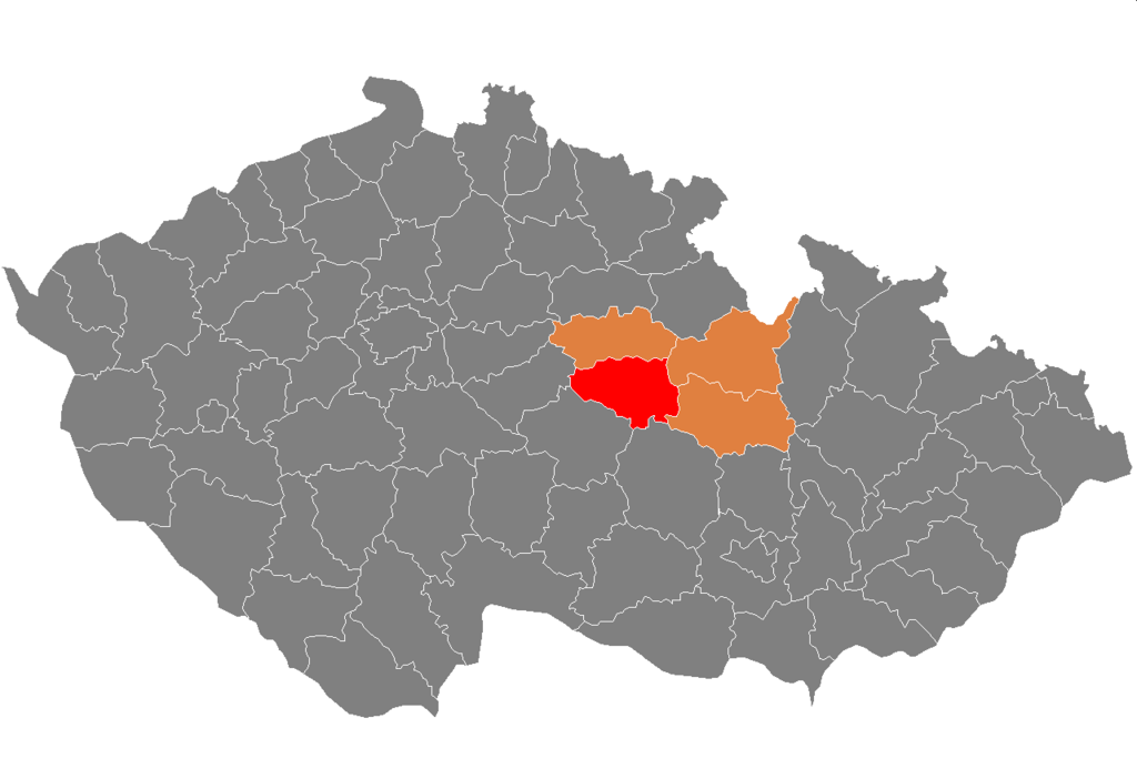
| Description | Location of Chrudim District within Pardubice Region and the Czech Republic |
| Date | Unknown date |
| Source | self-made, based on Image:Czech_Republic_districts.png |
| Author | Michiel1972 |
Licensing
| I, the copyright holder of this work, release this work into the public domain. This applies worldwide. In some countries this may not be legally possible; if so: I grant anyone the right to use this work for any purpose, without any conditions, unless such conditions are required by law. |
File history
Click on a date/time to view the file as it appeared at that time.
| Date/Time | Thumbnail | Dimensions | User | Comment | |
|---|---|---|---|---|---|
| current | 22:06, 5 October 2007 | | 1,281 × 878 (37 KB) | Michiel1972 | == Summary == {{Information |Description=Locator_maps_of_districts_of_the_Czech_Republic. |Source=self-made, based on Image:Czech_Republic_districts.png |Date= |Author= Michiel1972 }} [[category:Locator_maps_of_districts_of_the_ |
File usage
The following pages on the English Wikipedia use this file (pages on other projects are not listed):
Global file usage
The following other wikis use this file:
- Usage on ar.wiki.x.io
- Usage on azb.wiki.x.io
- Usage on bg.wiki.x.io
- Usage on de.wiki.x.io
- Usage on eo.wiki.x.io
- Usage on fa.wiki.x.io
- Usage on frr.wiki.x.io
- Usage on fr.wiki.x.io
- Usage on hu.wiki.x.io
- Usage on it.wiki.x.io
- Usage on ka.wiki.x.io
- Usage on lt.wiki.x.io
- Usage on ms.wiki.x.io
- Usage on pl.wiki.x.io
- Usage on pnb.wiki.x.io
- Usage on pt.wiki.x.io
- Chrudim (distrito)
- Chrudim
- Hlinsko
- Predefinição:Distrito de Chrudim
- Bojanov
- Chroustovice
- Trhová Kamenice
- Včelákov
- Žumberk
- Běstvina
- Biskupice (Chrudim)
- Bítovany
- Bor u Skutče
- Bořice
- Bousov
- Bylany (Chrudim)
- Ctětín
- Čankovice
- České Lhotice
- Dědová
- Dolní Bezděkov
- Dřenice
- Dvakačovice
- Hamry (Pardubice)
- Hluboká
- Hodonín (Pardubice)
- Holetín
- Honbice
- Horka (Pardubice)
- Horní Bradlo
- Hošťalovice
- Hroubovice
- Jeníkov (Pardubice)
- Jenišovice (Pardubice)
View more global usage of this file.