
File:Mali Map.jpg
Size of this preview: 503 × 599 pixels. Other resolutions: 201 × 240 pixels | 403 × 480 pixels | 644 × 768 pixels | 859 × 1,024 pixels | 1,470 × 1,752 pixels.
Original file (1,470 × 1,752 pixels, file size: 542 KB, MIME type: image/jpeg)
| This is a file from the Wikimedia Commons. Information from its description page there is shown below. Commons is a freely licensed media file repository. You can help. |
| Description |
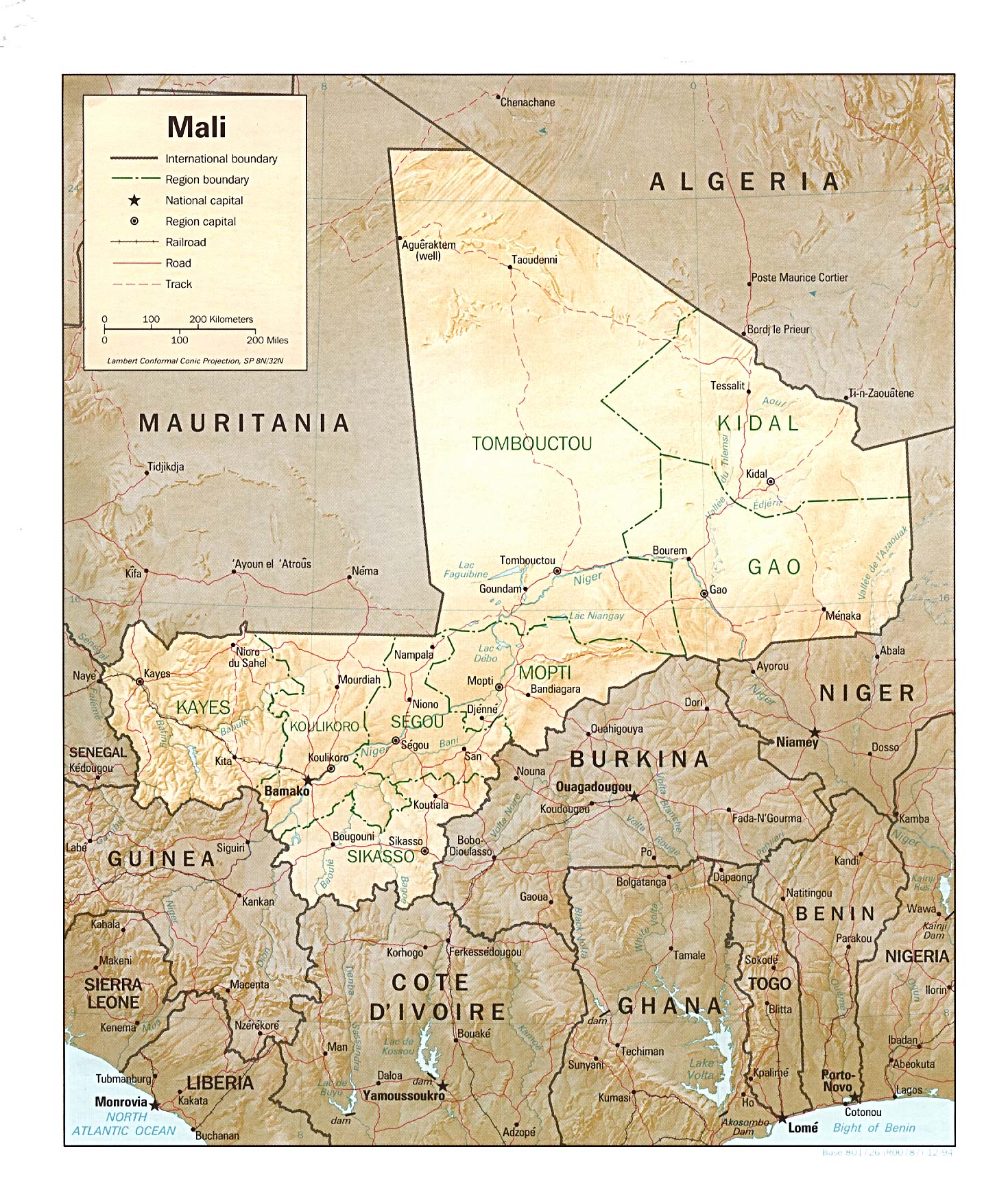
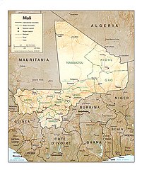
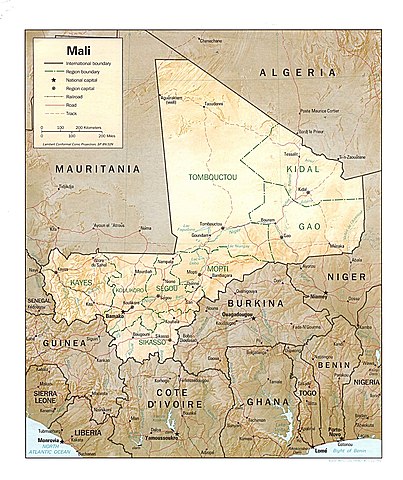
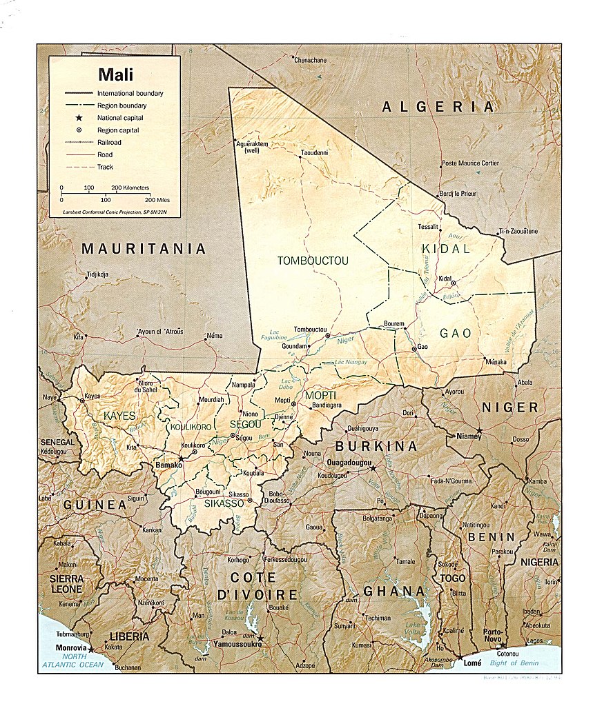
English: Shaded relief map of Mali. |
|||
| Date | ||||
| Source | [1] from the Perry-Castañeda Library Map Collection. | |||
| Author | CIA | |||
| Permission (Reusing this file) |
|
|||
| Other versions |

.jpg)
![[1]](http://www.lib.utexas.edu/maps/africa/mali_rel94.jpg)
File history
Click on a date/time to view the file as it appeared at that time.
| Date/Time | Thumbnail | Dimensions | User | Comment | |
|---|---|---|---|---|---|
| current | 11:23, 21 February 2006 | | 1,470 × 1,752 (542 KB) | Lupo | Shaded relief map of Mali. Source: [http://www.lib.utexas.edu/maps/africa/mali_rel94.jpg] from the [http://www.lib.utexas.edu/maps/mali.html Perry-Castañeda Library Map Collection]. {{PD-USGov-CIA}} Category:Maps of Mali |
File usage
The following pages on the English Wikipedia use this file (pages on other projects are not listed):
Global file usage
The following other wikis use this file:
- Usage on ady.wiki.x.io
- Usage on av.wiki.x.io
- Usage on az.wiki.x.io
- Usage on bg.wiki.x.io
- Usage on cy.wiki.x.io
- Usage on es.wiki.x.io
- Usage on fr.wiki.x.io
- Usage on hr.wiktionary.org
- Usage on it.wiki.x.io
- Usage on lt.wiki.x.io
- Usage on mg.wiki.x.io
- Usage on ru.wiki.x.io
- Usage on uk.wiki.x.io
- Usage on vec.wiki.x.io
- Usage on xmf.wiki.x.io
- Usage on zh.wiki.x.io