
File:Location map Northwest Territories 2.png
Size of this preview: 423 × 600 pixels. Other resolutions: 169 × 240 pixels | 500 × 709 pixels.
Original file (500 × 709 pixels, file size: 99 KB, MIME type: image/png)
| This is a file from the Wikimedia Commons. Information from its description page there is shown below. Commons is a freely licensed media file repository. You can help. |
Summary
| Description |
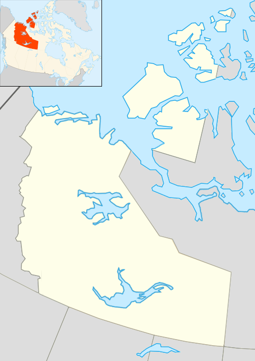
English: Map of Northwest Territories |
| Date | |
| Source | Based on File:Canada location map.svg with inset map of File:Northwest Territories, Canada.svg |
| Author | Algkalv and Dr. Blofeld based on original by Yug. Inset map is by EOZyo. Two maps put together by Ruhrfisch (talk) 15:00, 8 September 2010 (UTC) |
| Other versions |
 |
Licensing
I, the copyright holder of this work, hereby publish it under the following license:
This file is licensed under the Creative Commons Attribution-Share Alike 3.0 Unported license.
- You are free:
- to share – to copy, distribute and transmit the work
- to remix – to adapt the work
- Under the following conditions:
- attribution – You must give appropriate credit, provide a link to the license, and indicate if changes were made. You may do so in any reasonable manner, but not in any way that suggests the licensor endorses you or your use.
- share alike – If you remix, transform, or build upon the material, you must distribute your contributions under the same or compatible license as the original.
File history
Click on a date/time to view the file as it appeared at that time.
| Date/Time | Thumbnail | Dimensions | User | Comment | |
|---|---|---|---|---|---|
| current | 01:56, 19 July 2012 | | 500 × 709 (99 KB) | 117Avenue | slight colour adjustment |
| 15:00, 8 September 2010 |  | 500 × 709 (78 KB) | Ruhrfisch | == Summary == {{Information |Description={{en|1=Map of Northwest Territories}} |Source=Based on File:Canada location map.svg with inset map of File:Northwest Territories, Canada.svg |Author=Algkalv and Dr. Blofeld based on origi |
File usage
The following pages on the English Wikipedia use this file (pages on other projects are not listed):
Global file usage
The following other wikis use this file:
- Usage on ar.wiki.x.io
- Usage on az.wiki.x.io
- Usage on bg.wiki.x.io
- Usage on ceb.wiki.x.io
- Usage on cs.wiki.x.io
- Usage on fa.wiki.x.io
- Usage on fi.wiki.x.io
- Usage on id.wiki.x.io
- Usage on ja.wiki.x.io
- Usage on kn.wiki.x.io
- Usage on ko.wiki.x.io
- Usage on ml.wiki.x.io
- Usage on ms.wiki.x.io
- Usage on pl.wiki.x.io
View more global usage of this file.